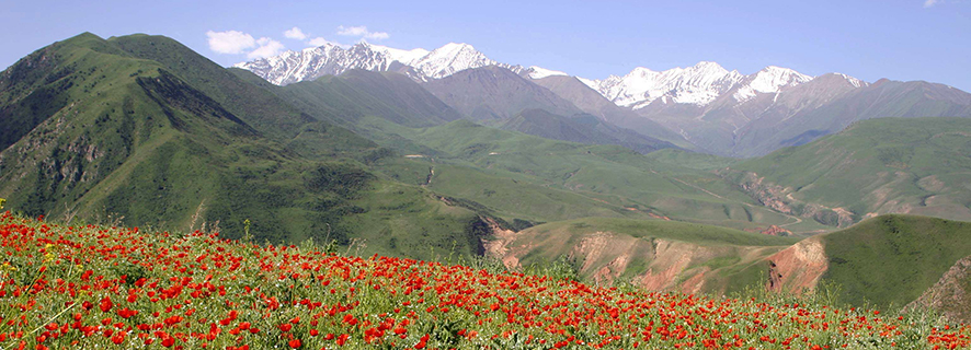


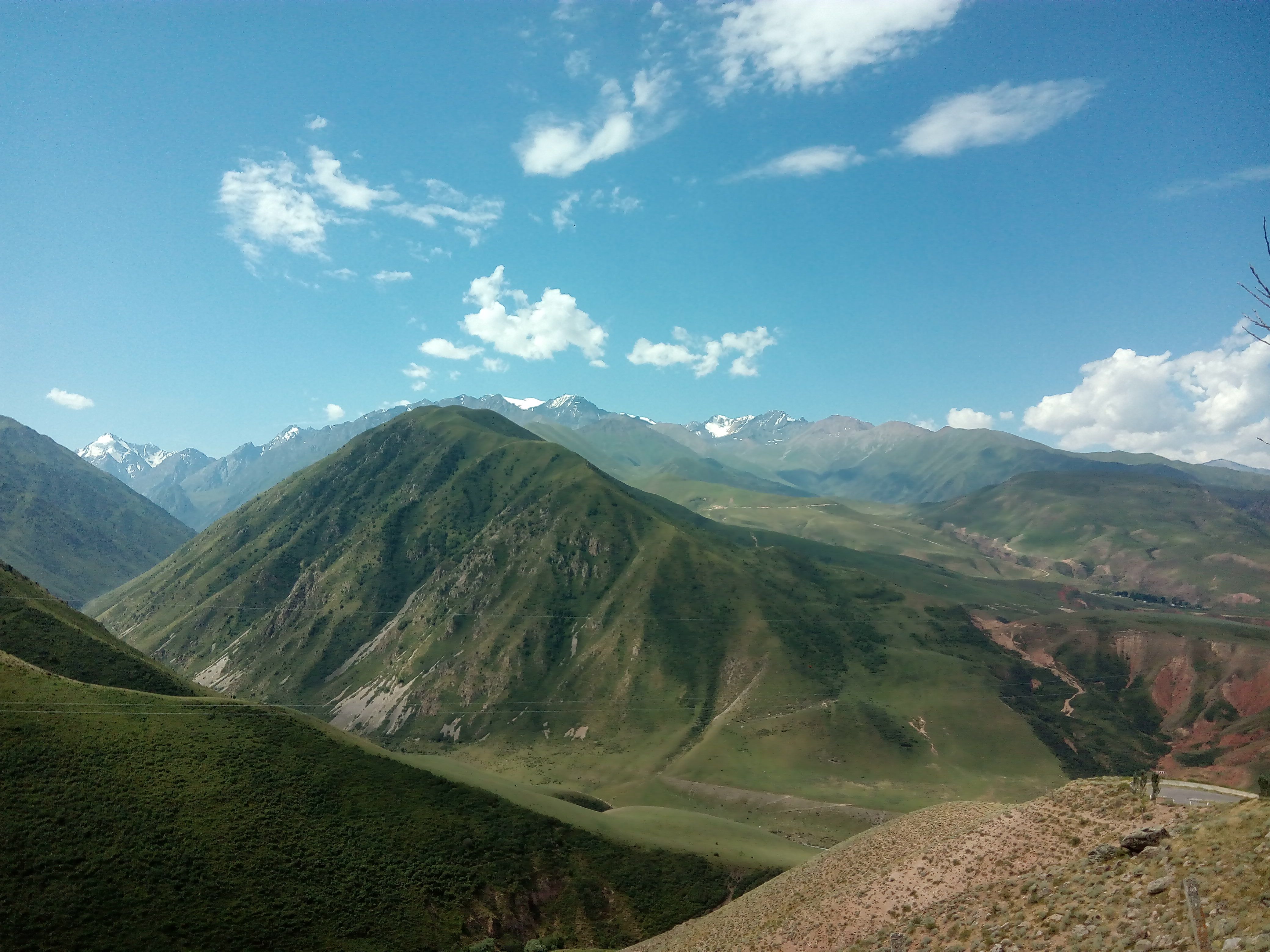
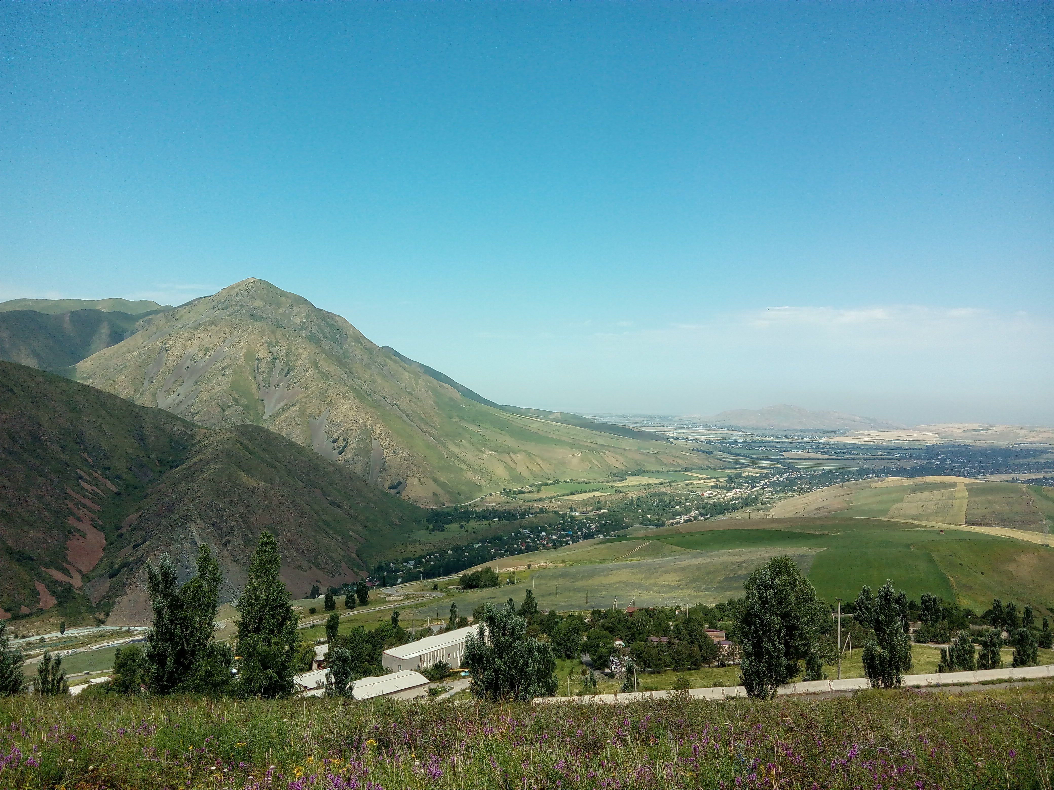
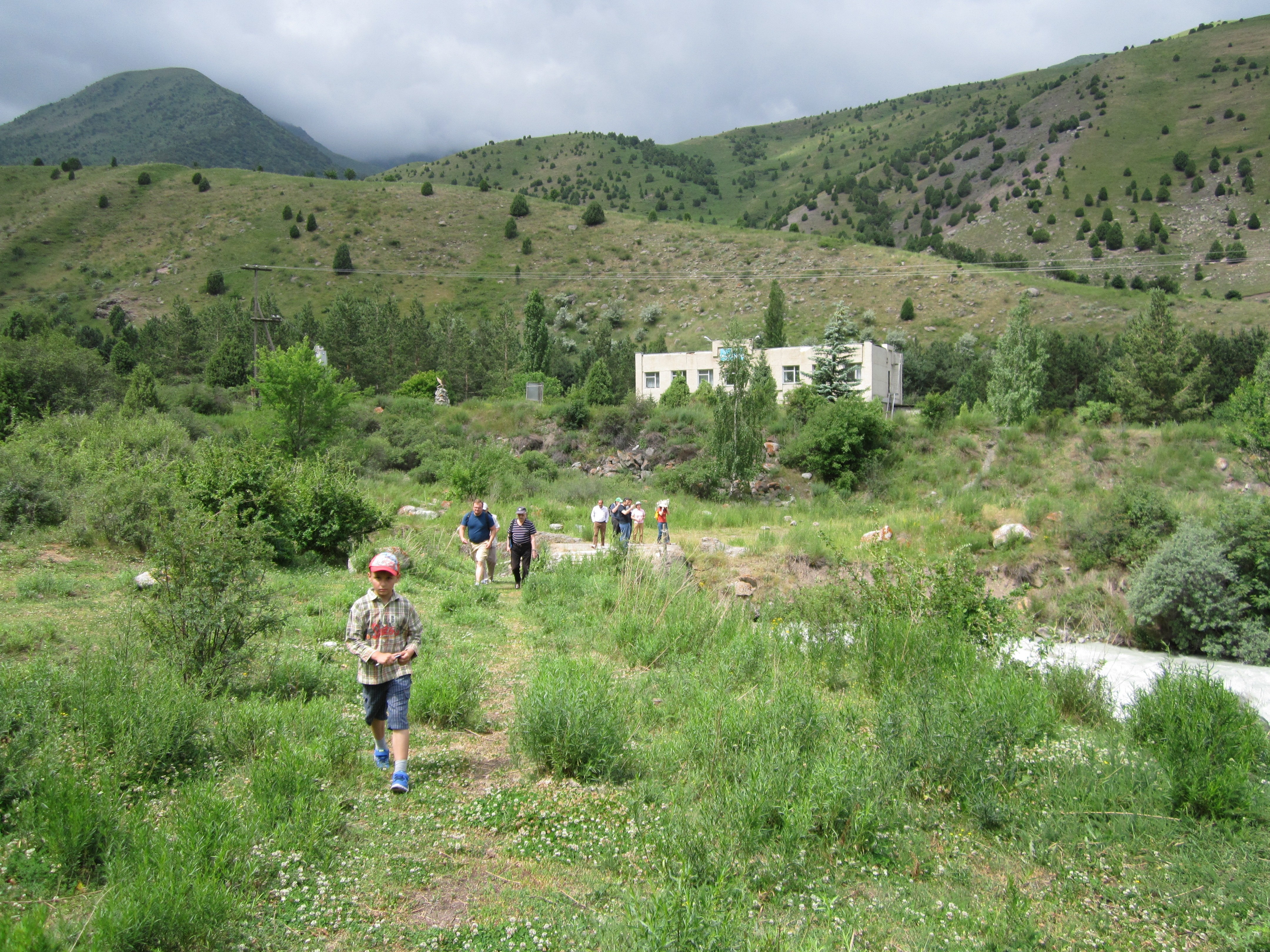
On June 24, 2017, the 7th International Symposium was traditionally concluded with survey geological tour. It started from “upper sight” of Research Station of the RAS in Bishkek, from where the glorious view on mountain constructions of Kyrgyz Mountain Range is opened. The experienced geologist – researcher easily could recognize numerous geomorphic, stratigraphic, tectonic, gidrogeological and other objects.
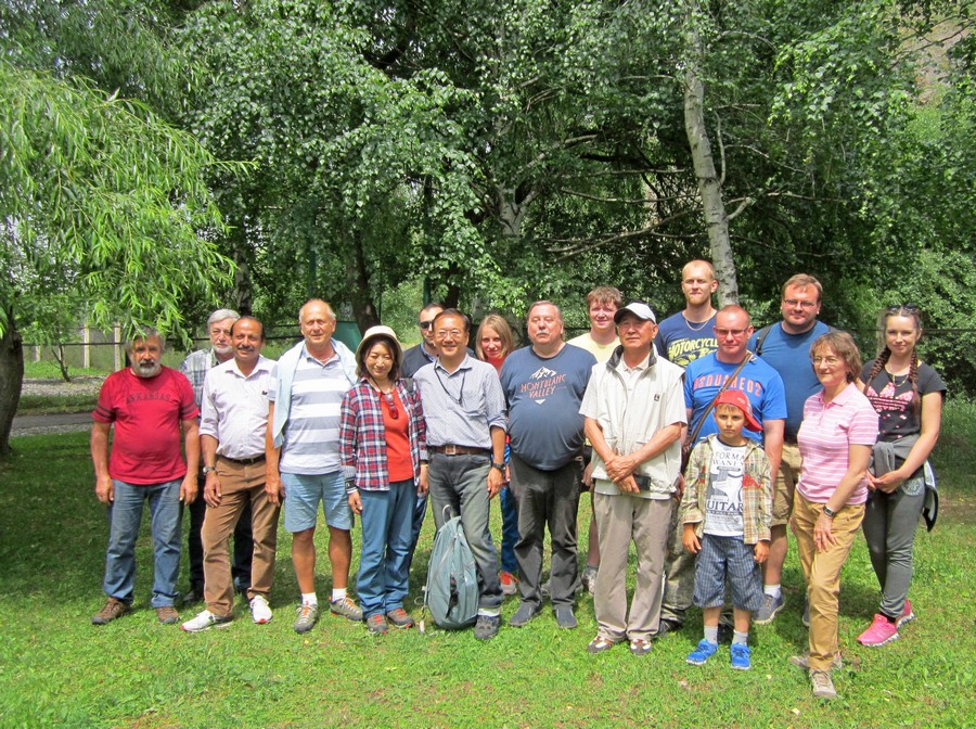
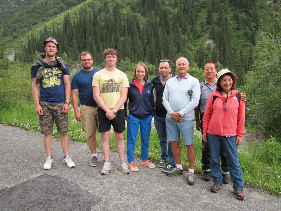
Prominent specialist on neotectonics, Director of the Institute of Seismology of the National Academy of Sciences of the Kyrgyz Republic, Kanatbek E. Abdrakhmatov, gave a tour for Symposium participants from different countries. In course of this geological tour, the most attention was paid to conditions of main active faults and Earth’s crust blocks forming landscape.
Geological excursion was preceded by short description of general geological situation of the region.
As known, ongoing collision of Indian and Eurasian plates causes deformations propagation towards the Tian Shan in Central Asia. Stretched from east to west, Tian Shan represents itself the region of active deformations, which is sandwiched between two rigid blocks of the Earth’s crust: Khazakstan platform in the north and Tarim depression in the south. According to Global Positioning System, modern transverse compression of Central Tian Shan, which is situated by the moment in 500 – 1500 km to the north from Indo-Eurasian plate boundaries, is damping about half of deformations caused by common convergence of plates relative to one another, and velocity of modern shortening of Earth’s crust mountains up to 20mm/year.
This fundamental geological factor leaves no room for development of conception based on idea of expanding Tian Shan but poses number of problems, from which significant one is the problem of deformation type within Tian Shan.
Actually, it depends from type of faults: steep or gently deeping ones located within Tian Shan, which are the base for estimations of current transverse compression of the Earth’s crust of the region considered and the modern geodynamic concepts based on such estimations.
Prof. Abdrakhmatov mentioned that Late Quaternary movements are concentrated within five main zones: 1) line of conjunction of low submountain area of Chu Valley with area of Quaternary deposition setting; 2) line of conjunction of low submountain of Kochkor depression with northern deeping part of depression; 3) active central parts of Jumgal and Suusamyr depressions and central part of Naryn depression; 4) southern margin of Atbashy depression and 5) central part of Aksai depression. This results testify to the theory that modern compression of Tien Shan is concentrated within number of fault zones, which are located equi-distant from each other and divide by itself relatively stable segments of upper crust.
In the course of geological tour the participants explored one of the main zones – line of conjunctions of Kyrgyz Mountain Range with Chu Depression. This boundary is known as Issyk-Ata fault.
Issyk-Ata fault is the frontal active fault of the Central Tian Shan, which is situated between 74 and 75 degrees of eastern longitude and is stretching, at least, for 150 km from Aksu River in the east and to Shamsi River in the west. Issyk-Ata Fault is represented itself the thrust with average dips and overthrust in near surface part of transection. According to our data the velocity of displacement along Issyk-Ata fault in area of Alamedin River is 2.1+1.7/-0.3 mm/year.
According to recent data, there were three strong earthquakes in close proximity to capital of the Kyrgyz Republic: the first known one occurred about 10 000 years ago, second one - about 4000 years ago and third – 700 years ago. The data obtained testify to unregularly earthquakes occur: stable periods for several millenniums are changed by periods, when number of strong earthquakes occur within several hundreds years.
Kanatbek Abdrakhmatov demonstrated paleoseismodislocations, i.e. traces of ancient earthquakes in the form of huge landslides, fresh terraces and so on.
Geological tour had its continuation in the National Nature Park “Ala-Archa”, situated in picturesque Ala-Archa Gorge, where participants had an opportunity to be acquainted with geophysical equipment of Institute of Geology Observatory, and inspected the tunnel, where this equipment is installed.
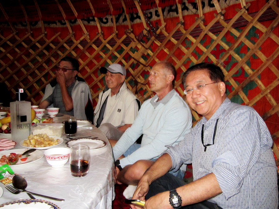
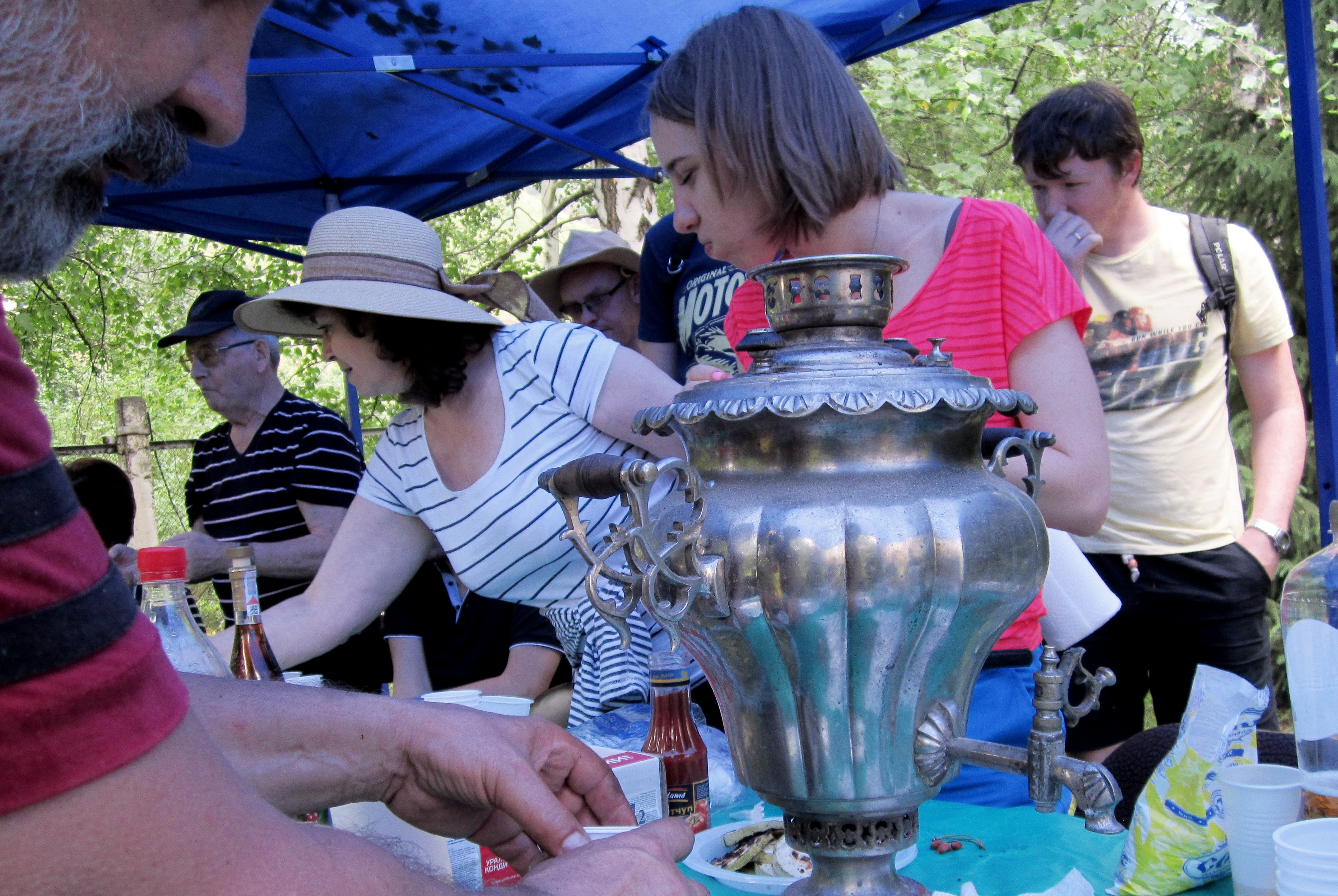
Than hospitable colleagues from the Institute of Seismology NAN KR took participants around interesting places of National Park Ala-Archa. This delightful and knowing tour ended with barbecue and tea-party, to the joy of all participants of excursion.


